Safeguarding Your Geoscience Contribution from Formatting Failures
A formatting error, an unreadable figure, or an incomplete upload can keep sound geoscience from being judged as written. Reviewers evaluate the document presented to them, meaning technical brilliance obscured by a degraded PDF export or a missing reference list will fail to advance through the selection process. We order the preparation sequence strictly to prevent these unforced errors: check the current-year instructions, build the scientific argument, prepare figures and references, and finally verify the submitted file. This keeps drafting aligned with the correct template.
Run the instruction check before any full-draft formatting begins. Start a 6–10 week writing window only after that cycle’s call for abstracts and official template are in hand. Treat a failed PDF reopen or a missing figure as a hard stop before upload, rather than a repair to attempt after the deadline hour.
Extracting the Current-Year Submission Parameters
Authors frequently begin drafting based on memory from previous conferences, which introduces template mismatches early in the process. The reliable approach requires extracting the exact parameters for the current cycle before writing a single paragraph. Confirm the applicable track, deadline, eligibility rules, template, length limit, file type, and submission route directly from the current-year GeoConvention instructions.
These variable requirements differ fundamentally from durable writing practices. While the principles of clear geological argumentation remain constant, the specific margins, font requirements, and page caps fluctuate between conference cycles. Spend 20–40 minutes extracting the track, deadline, eligibility, template, length limit, file type, and submission route onto a one-page checklist before touching document styles. Carry unresolved template or length questions for 1–2 business days until the current-year instructions answer them. Do not guess a page cap or assume a font size based on prior submissions.
Structuring a Testable Geological Argument
A technical reader must be able to test the contribution based on the evidence provided in the text. Outline a practical sequence to build this argument: state the geological or applied problem, define the setting and available data, detail the methods, list the principal observations, provide the interpretation, and outline the implications. This structure applies directly to seismic interpretation, reservoir characterization, and hydrogeological analysis, which form the core applied audiences for this meeting type.
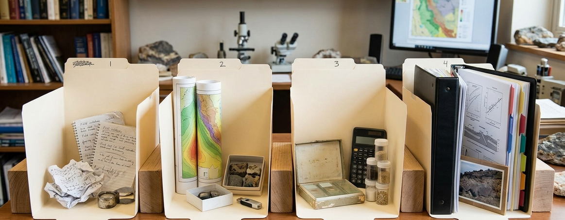
Separate measured observations from the subsequent interpretation. Keep the argument focused on a single defensible contribution that can be stated in 2–4 sentences of interpretation immediately after the observations. Put data-coverage or methodological limits in the exact same paragraph as the conclusion they constrain. Placing limits in a closing disclaimer disconnects the uncertainty from the claim, making it difficult for reviewers to assess the validity of the interpretation within the study area.
Anchoring Interpretations to Described Observations
Consider two approaches to reporting results. The unsupported pattern reads: “The reservoir is high quality across the study area.” The tied pattern reads: “Net-to-gross in the cored interval of the named well is the comparison basis for the adjacent seismic-attribute map; the interpretation is limited to the area of that well control.” The second sentence provides the necessary context for a technical reader to evaluate the claim.
Identify the dataset, study area, processing or analytical method, and comparison basis with enough detail to support the interpretation. Include units, spatial and temporal context, and clear distinctions among input data, derived products, and interpretations. A technical reader cannot assess a seismic, reservoir, or hydrogeologic claim without these specific parameters. Name the dataset, study area, processing or analytical method, and comparison basis before any interpretive sentence. State incomplete well control or limited seismic resolution inside the 3–6 sentences that report that specific observation.
Preserving Figure Legibility Through PDF Export
Graphics often appear perfectly legible in the drafting software, only to degrade during document conversion. Two-way-time tick labels that survive in the drafting file frequently vanish after GeoConvention PDF font substitution, meaning the seismic section no longer supports the horizon-pick sentence. Execute a figure-by-figure check for axis and unit labels, map orientation and scale where applicable, legends, color contrast, and caption definitions.
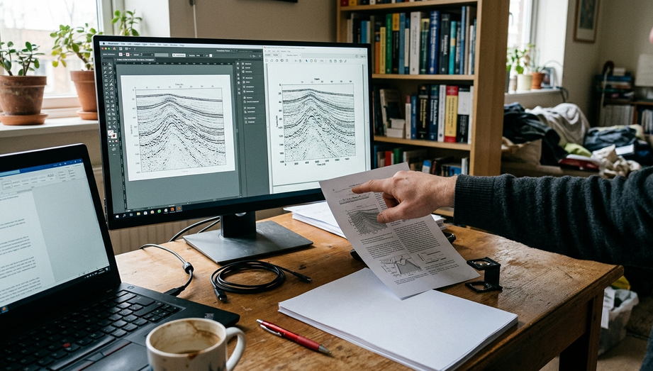
Every seismic section, stratigraphic column, or location map must support a specific statement in the text rather than merely decorating the submission. A figure that does not carry a claim wastes limited abstract space. Inspect every map, section, and column at the PDF’s actual viewing size for 30–90 seconds. Soft-proof one grayscale page in 5–10 minutes to see whether a color-only lithology or amplitude scale still supports the sentence that cites it. A single export DPI or color-space setting rarely guarantees optimal results across all figure types.
Reconciling Citations and Securing Figure Permissions
An unmatched in-text key represents a completeness failure, while reused seismic data, maps, and photographs without clearance represent a rights failure. Reconcile every in-text citation with the reference list in a 10–15 minute pass using the citation format named in that year’s instructions. Citation matching must occur before finalizing permission language to ensure all referenced works are properly accounted for in the bibliography.
Distinguish original figures from adapted or reused material so a basemap or vintage section is not treated as your own work. Check permissions and required credit before submission. Prompt coauthors to confirm their names, affiliations, contributions, and approval of the submitted version. Collect coauthor approval of the submitted version over 2–5 business days. Do not upload the document while a name, affiliation, or figure credit remains unmarked. Researchers at institutions like the University of Calgary often require specific departmental sign-offs before external publication, which must be factored into the timeline.
Verifying the Exported Artifact and Metadata
The final check is the confirmed extended-abstract PDF and matching submission-record fields for that GeoConvention cycle. Apply the verified template, export the permitted file type, reopen the file, and inspect every page. Reopen the exported file and walk every page in a 12–20 minute inspection for missing figures, font substitution, clipped captions, and broken references. Catching these errors in the artifact that will be uploaded prevents flawed documents from reaching the review committee.

Check that the title, author details, category, and abstract text entered in the submission system agree exactly with the uploaded document. Mismatched metadata creates indexing and scheduling conflicts later in the conference planning process. Upload early enough to leave 1–3 business days to read the confirmation or receipt. Keep the final PDF plus that confirmation with the coauthors. The oral slide deck and core-workshop poster sit outside this specific document workflow and require their own separate preparation cycles.
Pre-Upload Artifact Verification
- Current-year track, template, length limit, file type, and route copied onto a one-page checklist
- Single contribution ordered as problem, setting and data, methods, observations, interpretation
- Dataset, study area, processing method, and comparison basis named before interpretive sentences
- Every map, section, and column inspected at the PDF’s actual viewing size for 30–90 seconds
- In-text citations reconciled with the reference list in a 10–15 minute pass
- Exported file reopened and walked page-by-page in a 12–20 minute inspection
Executing the Final Pre-Upload Inspection
Once the scientific content is settled, complete the final inspection without reopening style decisions. Compare each interpretive sentence with its supporting observation in an 8–15 minute read-through before touching the upload interface. Inspect each figure at viewing size, reconcile the citations, and confirm the uploaded file is the approved version.
Reopen and inspect the exact file returned or confirmed by the submission system before treating the GeoConvention abstract as finished.